Innovations abound at Iowa Flood Center

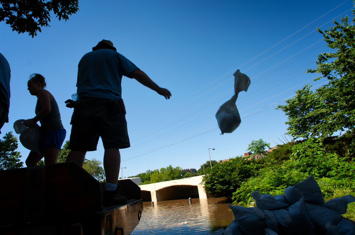
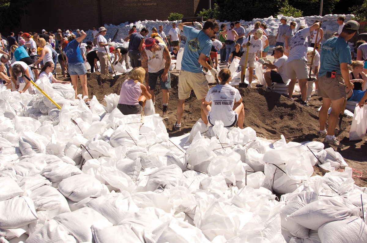
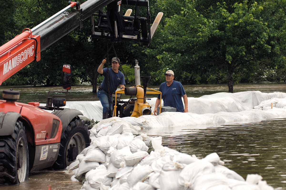
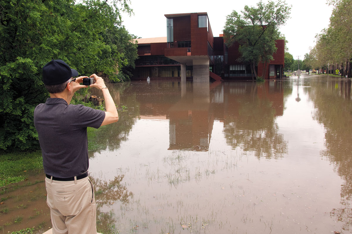
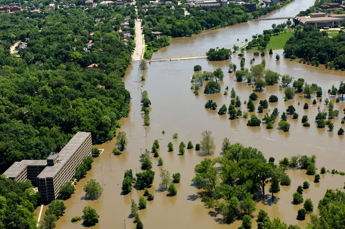
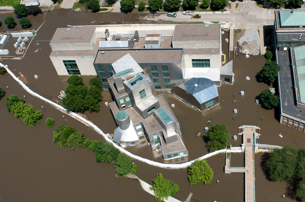
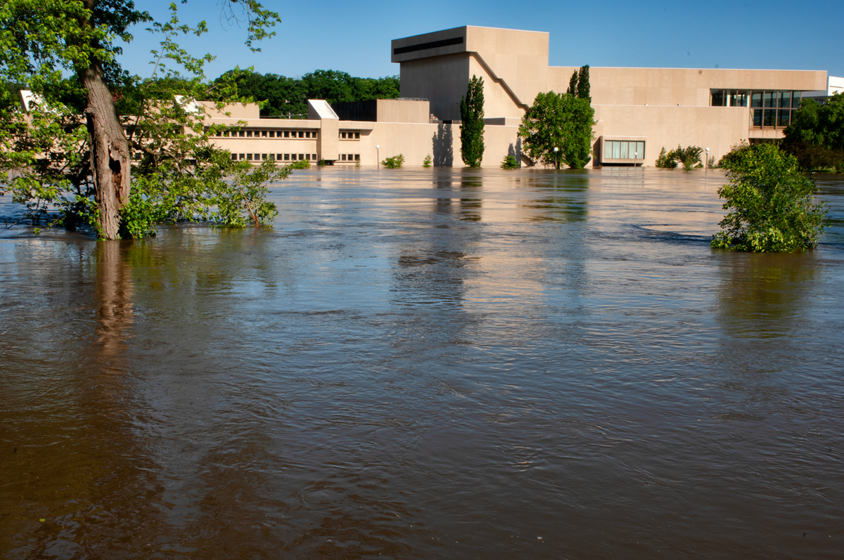
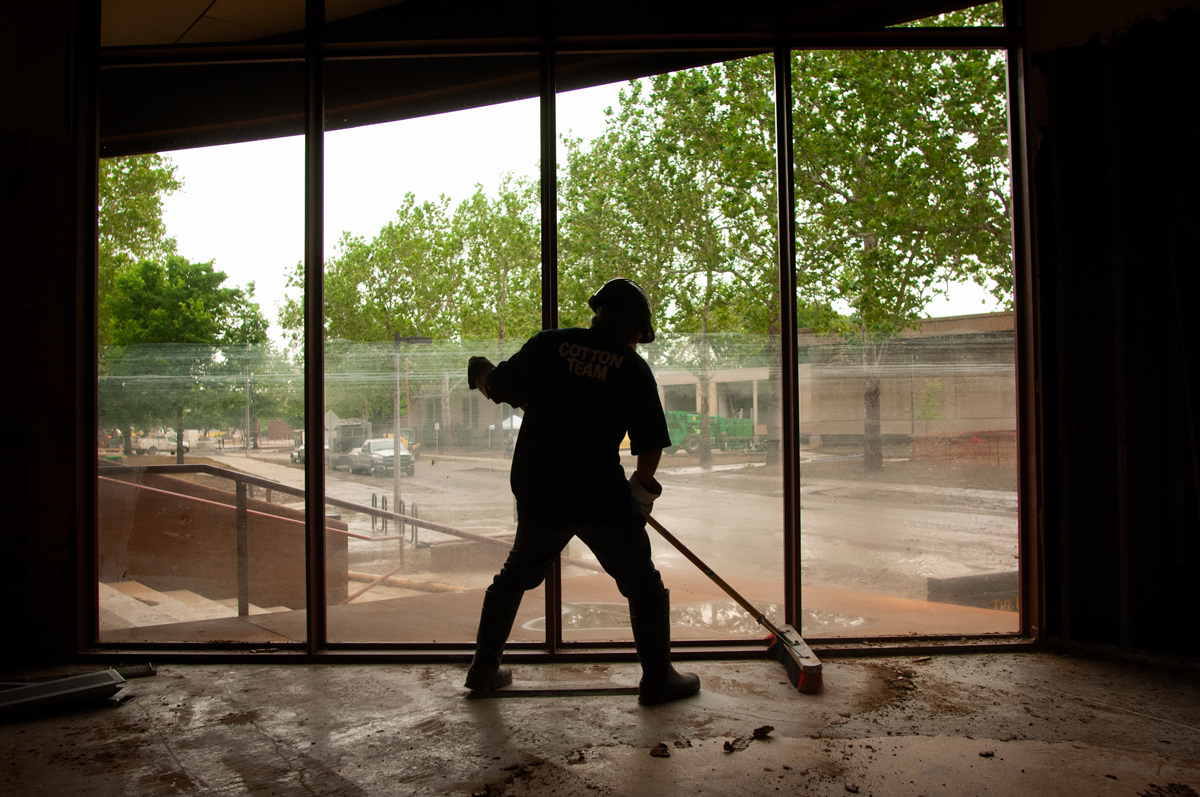
When much of eastern Iowa succumbed to a devastating flood in June 2008, two professors at the University of Iowa College of Engineering’s IIHR—Hydroscience & Engineering research institute decided it was time to do more than fill sandbags. They set about putting their hydrologic and river hydraulic expertise to work for Iowans.
With support from state legislators and local officials, Witold Krajewski and Larry Weber created the Iowa Flood Center (IFC), the nation’s only academic center devoted to flood research. Today, with Krajewski at the helm, the IFC’s staff of research experts is working to protect Iowans from flooding and its devastating results through advanced technology and science, targeted conservation practices for flood mitigation, and strong community partnerships.
“Over the past decade, the Iowa Flood Center has established itself as the go-to source in Iowa for flood information and research,” says Krajewski. “In addition, the flood center provides many high-tech but easy-to-use tools that help residents, business owners, and farmers track rising water and avoid flood damage.”


IFC innovations since 2008
Flood control that starts at the source
The Iowa Watershed Approach (IWA) is a highly collaborative program that addresses flooding in a holistic manner, recognizing that communities upstream and downstream need to voluntarily work together to increase flood resilience. Funded through a $96.9 million grant from the U.S. Department of Housing and Urban Development to the state of Iowa, the IWA program aims to reduce flood risk, improve water quality, increase flood resilience, engage stakeholders through collaboration and outreach, improve quality of life and health for vulnerable populations, and serve as a model for other states.
A network of stream sensors
The IFC maintains a network of nearly 250 stream and river sensors across the state. Supported by funding from the Iowa Department of Natural Resources (DNR) and Iowa Department of Transportation, among others, the sensors provide real-time information about water levels and help communities large and small prepare for flood events more quickly, protecting both people and infrastructure. Sensor locations are selected in consultation with local governments, watershed management authorities, state agencies, and the National Weather Service.
Flood maps
In 2010, the IFC and Iowa DNR began a multiyear, $15 million federally funded program to update floodplain maps throughout the state. Completed in 2016, the updated maps provide Iowans with sound information about flood risks in their communities. Maps show the probability, extent, and depth of flooding for streams and rivers across the state. The maps are critical resources that help citizens, emergency managers, and other community decision-makers better understand Iowa’s flood hazards.

Improved flood forecasting
The IFC has developed real-time flood forecasts that provide information about watersheds, precipitation, and stream levels for more than 1,000 Iowa communities. The IFC’s network of about 20 weather stations and 40 rain gauges gather data that help researchers understand hydrologic conditions, allowing them to better analyze and forecast flood and drought conditions. The weather stations measure rainfall and wind speed and direction, as well as soil moisture, temperature, and groundwater level. Data from the stations are collected in real time and made available on the Iowa Flood Information System. The goal is to erect a weather station in all 99 Iowa counties, which would help state and local officials predict floods, assess droughts, and manage water resources—information that benefits Iowa’s agricultural producers.
A flood app that does it all
The Iowa Flood Information System (IFIS) is a digital tool box that lets Iowans and their communities prepare for floods before they occur, helping to minimize flood impacts and damages. With the click of a mouse, IFIS provides real-time stream levels at nearly 250 locations, flood inundation maps showing the extent and depth of predicted floodwaters for Iowa communities, weather conditions including current and cumulative rainfall, and much more. New features coming soon include artificial intelligence and voice recognition so that users can speak to the app, automatic text alerts for stream sensors, a version for mobile devices, and flood-damage estimates for buildings in the floodplain.
Learn more about hydroscience at the University of Iowa.